Hi, have a lot going on including my route update. I have decided to take a new approach. Building a route is tedious work, and depending on the complexity, development time could be very long. As with most of my hobbies, and even in daily life I tend to want to make things complex. My first iteration of this route was a learning process, and while my results were good there was room for improvement. My objects had too many faces, some objects used alpha channels, and I tended to scratch build objects instead of using image files. When I did use image files they were not sized using the power of 2 rule. Performance suffered.
This iteration has incorporated the following:
- Use of PNG files for rendering objects such as stations, entrances, buildings, tracks, and signals. Using image files in combination with transparency drastically reduced the number of faces required by 90 to 95 percent.
Image files are all power of 2 sized.
Elimination of all alpha channels. Use of color matching for transparency.
Over 500 signal combinations that are dynamically defined when needed using the preprocessor. Signals have two styles, round or shaped. The round combinations are finished. The shaped ones are only done for horizontal signals.
Use of Google Earth to accurately pinpoint route location, surfaces, and buildings.
Reduction in scenery from 500 feet on either side of track 0 to 250 feet.
So far the results and rendering times have met or exceeded expectations. I will be absolutely sure when the route is done from station to station (to Arthur Kill Road).
Here are some sample images:
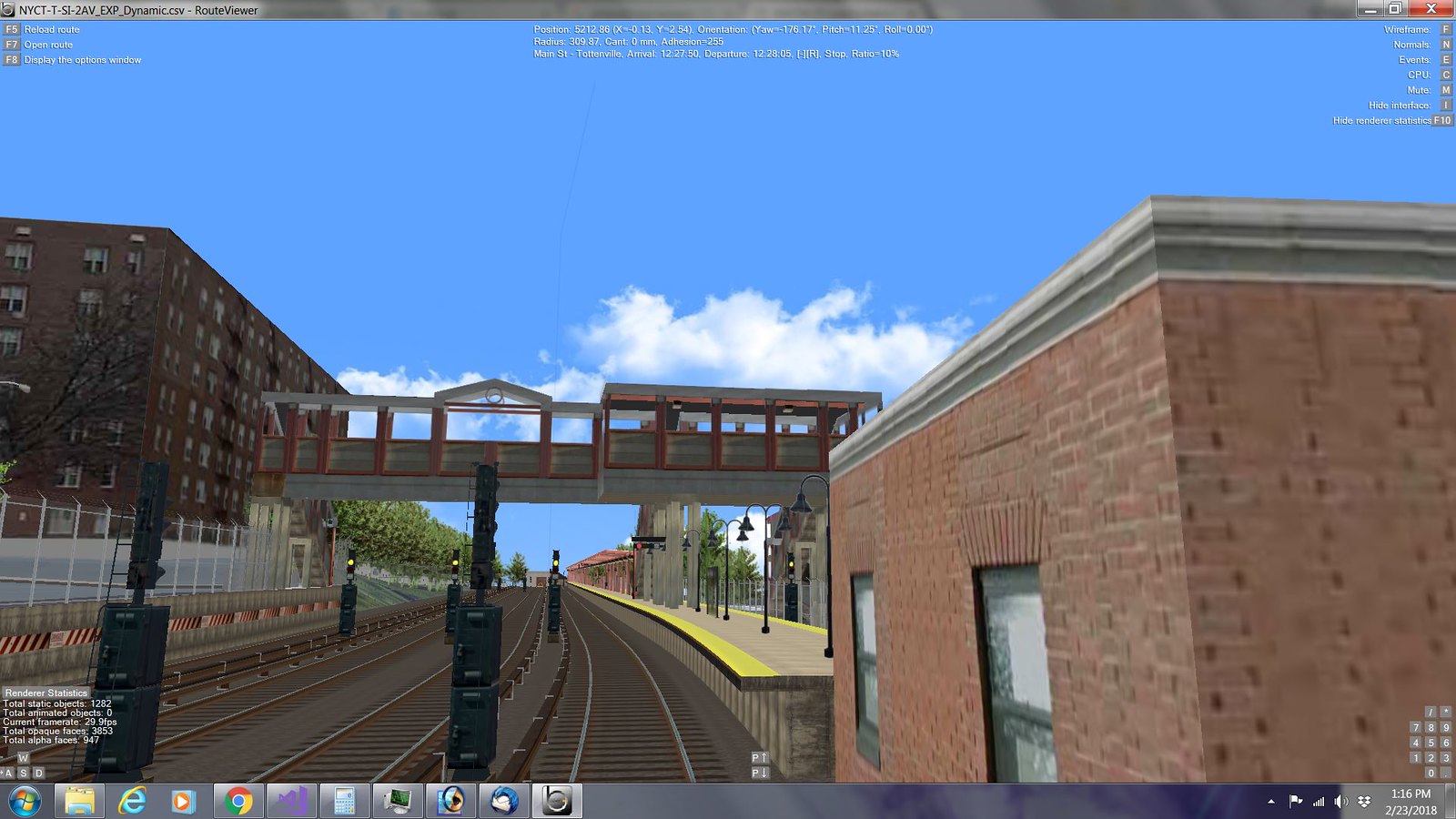
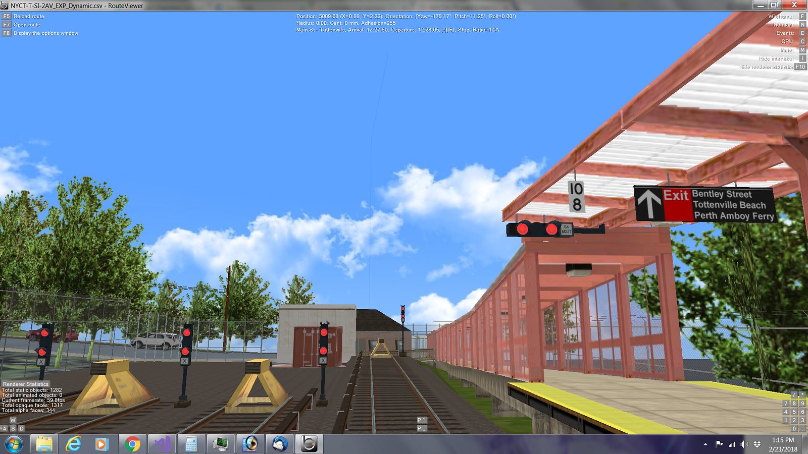
View from front cab waiting to leave Main Street - Tottenville. Yard signals to the right. All signals use round lens casings.
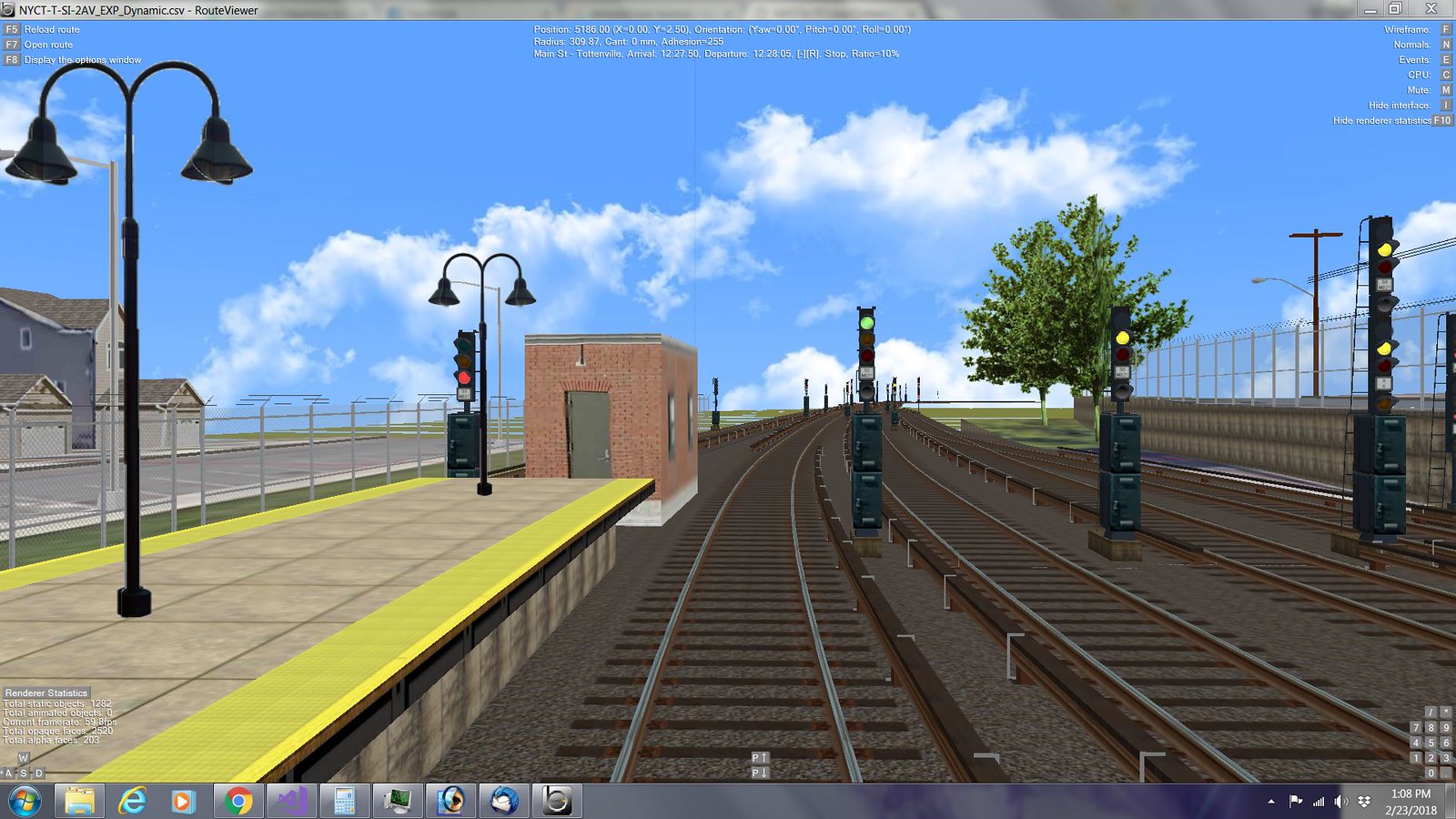
Same view further back, perhaps from a shorter train. The current station overpass at Main Street needs to overlap the longer station required for subway trains. The curve also starts before the station ends. Google Maps was used to iron out these details.

Station entrance at other end.
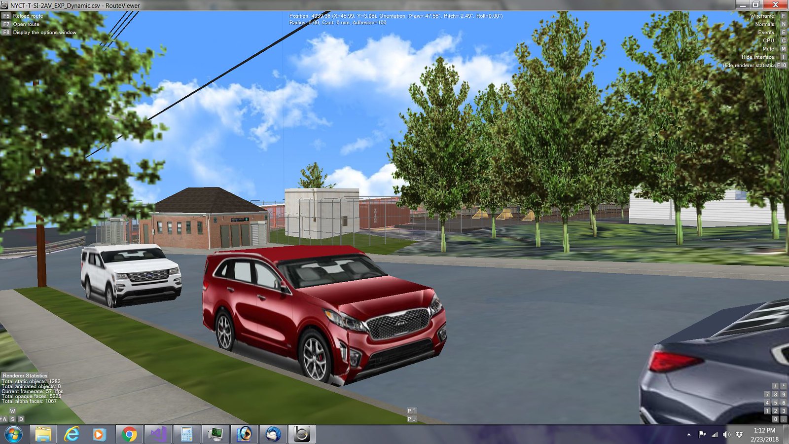
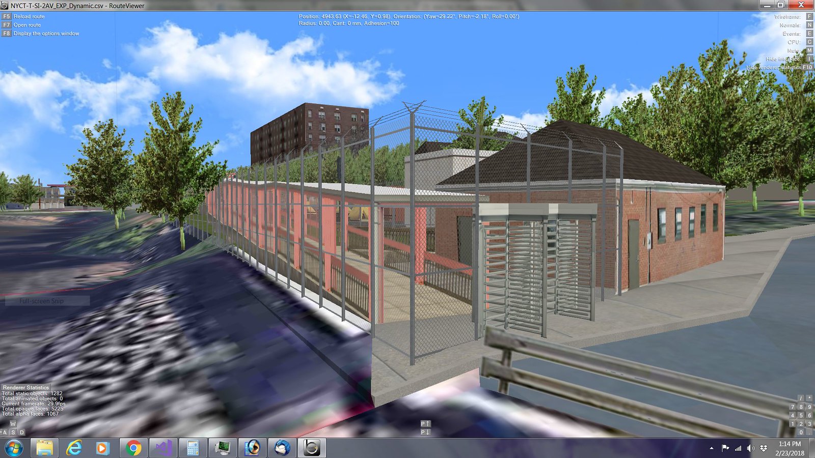
Station entrance from another angle. Tottenville now has a new apartment building. Staten Island is much more urban because of the subway.
Reverse view showing end of the line and yard ends.
Reverse view further down the track with station in view and yard entrance.
